
Moving Beyond Consumer Apps
The standard consumer apps are the primary reason for the overcrowding of BLM lands. Once a spot is 'pinned,' its lifespan as a quality boondocking site is effectively over. For the veteran, 'Free BLM Camping Near Me' isn't a search query; it's a data-processing task. To find sites fast and ensure they are viable for a large rig, you must move into the realm of Geographic Information Systems (GIS) and specialized topographical overlays.
The Power of GIS and MVUM Overlays
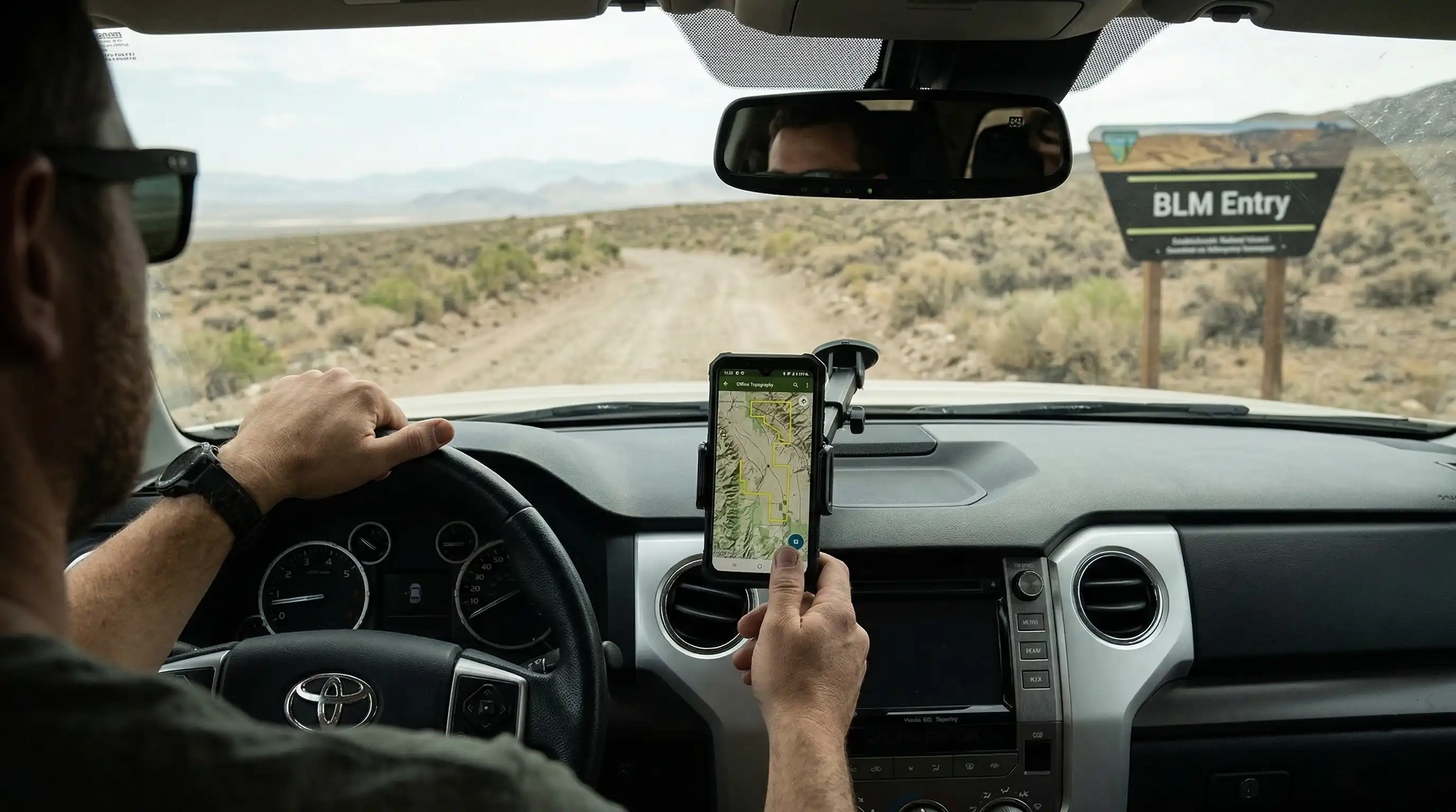
Every BLM district maintains its own GIS database, which is the source of truth for land ownership. The first step is to download the Motor Vehicle Use Map (MVUM) for the specific National Forest or BLM district you are targeting. Use an app like Gaia GPS or CalTopo and import the official KML/SHP files. This allows you to see the 'Authorized for Dispersed Camping' layers that aren't visible on standard Google Maps. Look for the 'DOT' or 'Dashed' lines adjacent to major arteries—these are your gateways to the interior.
LiDAR and Slope Analysis
The most common failure in scouting is finding a perfect spot on a map that turns out to have a 20-degree incline or a washed-out entry point. In 2026, we utilize LiDAR (Light Detection and Ranging) data. LiDAR provides a high-resolution 3D map of the earth's surface, stripping away vegetation. By analyzing the 'Slope' layer in your mapping software, you can identify flat pads (0-3 degrees) that are large enough for an RV's footprint. This saves hours of fuel and wear-and-tear on your suspension. If the slope layer shows a sudden 90-degree drop or a jagged 'V' shape across the access road, that is a washout—avoid it at all costs.
Satellite-Based Vegetation and Thermal Mapping
For those with high-capacity solar systems, shade is the enemy. For those without, it's a necessity. Use NDVI (Normalized Difference Vegetation Index) satellite layers to determine the density of the tree canopy. In the high deserts, you can also use Thermal Infrared (TIR) data to identify areas with high 'Thermal Inertia'—places that retain heat at night (like rock faces) versus places that cool down rapidly (like sandy washes). This data is available via NASA's Landsat program and can be accessed through various Pro-tier mapping subscriptions. An expert boondocker knows that a site nestled against a western cliff face will lose its solar charging 2 hours earlier than a site on an open ridge.
Real-Time Resource Verification
Once you've identified a potential site via GIS and LiDAR, the final step is real-time verification. This involves checking the 'Fire History' layer (to avoid ash-heavy, unstable soil) and the 'Current Precipitation' radar. If a BLM area in Arizona or Utah has received more than 0.5 inches of rain in the last 24 hours, the bentonite clay content in the soil makes the roads impassable for anything heavier than a mountain bike. Do not trust the 'road looks dry' visual from a satellite; check the soil moisture sensors provided by the NRCS (Natural Resources Conservation Service) SNOTEL network. If the soil saturation is above 15%, wait 48 hours before attempting entry.